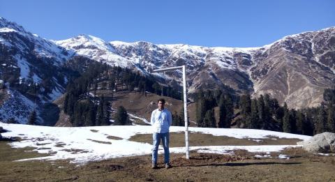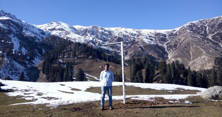
The LUMS Centre for Water Informatics and Technology (WIT) has deployed and tested an indigenously developed instrument to measure hydrological parameters like snowfall, snow melt-rate, rainfall, temperature, humidity and the resulting water level of the stream of a small catchment having an area of 41 sq. kilometers in real time near Gabin Jabba, Swat. This instrument has been built upon an earlier work, a smart meter for early detection of hydrological events such as flash floods and droughts.
The altitude range of the catchment is 6800-13100 feet. A sensor capable of monitoring hydrological parameters (snow depth, rain, temperature etc.) has been installed at 9400 feet altitude and another at an altitude of 6800 feet (stream flow and hydrological parameters).
Snowmelt in Himalayas in Northern Pakistan is the main source of water for agriculture in the irrigated planes of Sindh, Punjab and KPK provinces. Sudden flood events due to heavy precipitation in these areas cause loss to human lives and destroys infrastructure like roads and buildings. Such events often result from intense warm rainfall melting heavy snowpack. Through this instrument, alerts can be generated to the local communities living in these areas in case of flash floods or droughts to mitigate its effects.